Pilot Pentland Firth and Orkney Waters Marine Spatial Plan. The Plan Scheme 2012.
The Plan Scheme sets out step by step how the pilot plan will be prepared and outlines the opportunities for stakeholders to get involved. The Plan Scheme is updated and publicised at key stages in the process to inform stakeholders and the general public
SECTION 1 INTRODUCTION

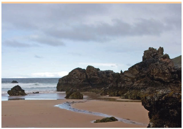
Sango beach, durness.

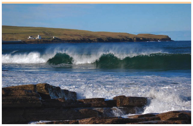
holborn head lighthouse, thurso bay, caithness
BACKGROUND
Marine Scotland ( MS), Highland Council ( HC) and Orkney Islands Council ( OIC) have established a working group to develop a pilot non-statutory Pentland Firth and Orkney Waters Marine Spatial Plan (the pilot plan). This will be supported by an advisory group that will be set up during 2013. The pilot plan will promote the sustainable management and development of the marine environment and will incorporate economic, environmental and social considerations into marine development decision making.
The pilot plan aims to develop a strategic decision making framework for licensing and other consent applications in the marine area. The plan will seek to reconcile the aspirations of all users of the marine area including the interests of the marine renewable energy sector, inshore fisheries, shipping and navigation, aquaculture, the oil and gas sector, recreation (by locals and visitors) and tourism. The plan will promote sustainable economic growth and management of the marine environment.
WHAT IS A PLAN SCHEME?
The Plan Scheme sets out step by step how the pilot plan will be prepared and outlines the opportunities for stakeholders to get involved. The Plan Scheme is updated and publicised at key stages in the process to inform stakeholders and the general public on progress made with the development of the pilot plan.

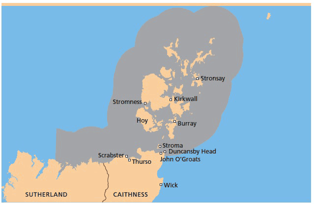
Figure 1
Map Of Area Covered By The Pilot Plan
Contact
There is a problem
Thanks for your feedback